Morgantown is known as the home of West Virginia University, the inspiration for a Joni Mitchell song and the birthplace of Don Knotts. But it’s also known for its extensive rail-trail system along the Monongahela River—one of a few American rivers that flows north—and its tributaries.
The Deckers Creek Trail is the gem of the system. Beginning at the confluence of the Monongahela River and Deckers Creek in downtown Morgantown, the trail is one of the main attractions of Hazel Ruby McQuain Riverfront Park. Located adjacent to a restored railway station, the park is the nexus of the trail system and a vibrant hub of local activity, with a steady stream of walkers, runners, skaters and cyclists. The Caperton Trail meets the Deckers Creek Trail in the park, situated roughly at the midpoint of its course through Morgantown and Star City.
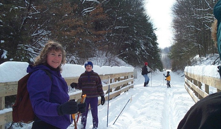
From the park, the Deckers Creek Trail stretches 19 miles to the southeast along a former rail corridor, paralleling Deckers Creek and State Route 7 to slightly west of the small town of Reedsville in Preston County. The first 2.5 miles of the trail are paved, passing through the urban landscape of Morgantown. The trail provides easy access to Marilla Park, a city park with a playground, swimming pool and tennis courts, as well as neighboring restaurants and food stores. After passing under Interstate 68, the surface changes to crushed stone.
The trail gains 1,000 feet as it climbs out of the Monongahela River valley and enters a rural landscape distinguished by hemlock, rhododendron and a smattering of residences. But the most memorable feature of the surrounding landscape is Deckers Creek itself. Because of the steady grade, the trail passes a series of dramatic rapids and waterfalls, while the creek noisily rushes headlong toward the Monongahela. Highly-experienced kayakers paddle Deckers Creek, which has some Class VI rapids, and rock climbing is also popular in the region.
The trail provides a close-up view of Greer Limestone, an active quarry business and remnants from railroading and coke and coal history.
As the trail approaches its endpoint near Reedsville, the grade flattens and the woods give way to wetland areas that feature cattails and red-winged blackbirds. Less than 1 mile away on State Route 92 is the Arthurdale Heritage District and Museum. The entire community of Arthurdale is on the National Register of Historic Places, recognized as the first of several planned communities created under President Franklin D. Roosevelt’s New Deal program.
Those not accustomed to hard pedaling can start on the Reedsville end and enjoy a pleasant ride downhill into Morgantown. Once downtown, connections to the other rail-trails can be made for further exploration. Combined, the three rail-trails—Deckers Creek, Caperton, and the Mon River Rail-Trails—make for nearly 50 miles of interconnected, continuous riding.
Trail Manager Contact
Mon River Trails Conservancy and Morgantown Board of Parks and Recreation
P.O. Box 282
Morgantown, West Virginia 26507
304-692-6782
www.montrails.org
ella@montrails.org
Notes
National Recreation Trail
Mon River Trails Conservancy- www.montrails.org
Trail of the Month February, 2015 http://www.railstotrails.org/trailblog/2015/february/11/west-virginias-mon-river-trails/
Friends of Deckers Creek- http://deckerscreek.org
Morgantown BOPARC- http://www.boparc.org