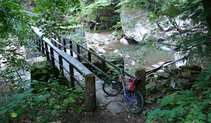
The Narrow Gauge Trail in Babcock State Park follows the gentle grade of what was the Manns Creek Railway, which connected Clifftop to Sewell, until it closed in 1956. The trail is breathtaking, but be warned: If you are not an accomplished mountain biker, you should consider it a hiking trail. The name rings true, as the trail is very narrow, tends to sit less than a foot away from a cliff over a shallow creek and is occasionally blocked by boulders, forcing you to scale the cliff a bit on trail detours.
Before heading out on the trail, be sure to take a moment to enjoy the Glade Creek Grist Mill, arguably the most photographed site in West Virginia. Built in 1976 from parts of older mills found all over West Virginia, its design is based on the 1890 Stoney Creek Grist Mill. The Glad Creek Mill is fully operational and offers park guests freshly ground buckwheat, whole-wheat flour and cornmeal during the summer (closed in winter).
From Cabin #13, which you can rent from Babcock State Park, it is almost 1 mile downhill to the official start of the Narrow Gauge Trail. Along the trail, Manns Creek provides the soundtrack while you travel through a beautiful example of a typical West Virginia mountain forest, with secondary hardwood and pine trees peppered among rhododendron bushes. The trail ends between the Babcock State Park campgrounds and the stables.
Trail Manager Contact
Babcock State Park
486 Babcock Rd.
Clifftop, West Virginia
304-438-3004
http://www.babcocksp.com/
DNRBabcock@wv.gov
Notes
This is a single-track and often steep, once a logging railroad.
Babcock State Park- http://www.babcocksp.com