The entire 11-mile corridor is in the public ownership of the WV State Rail Authority, and leased to the Harrison County Commission for development and management as a rail-trail. The trail was built on a railbanked CSX abandoned corridor that parallels the West Fork River, Browns Creek and County Road 25.
When complete, the Harrison South Rail-Trail will extend south from Clarksburg at the Wendy’s on Rt 20 / West Pike Street, to link with the Veteran’s Memorial Park, the 1.5 miles Mayor’s Fitness Trail, and the Louis A. Johnson VA Medical Center, to the rural communities of Mount Clare and Lost Creek.
Two segments of the Harrison South Rail-Trail are complete, as of October 2016.
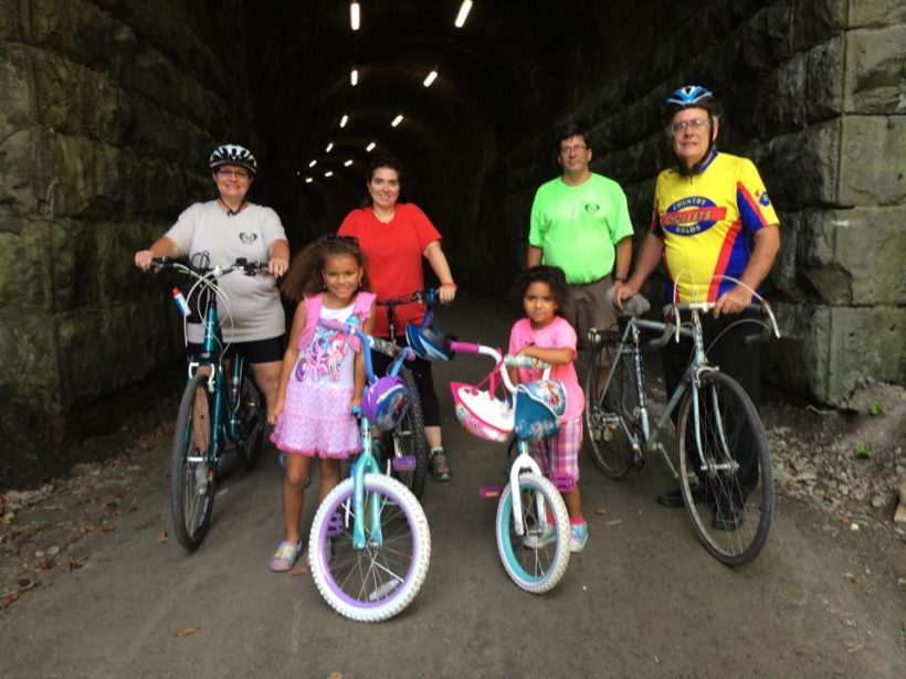
- The 3-mile northern segment in Clarksburg has a northern trailhead on Camden Street, near the Highland Dam. The trail has a nice crushed limestone surface. This segment also goes through the recently rehabbed and lighted tunnel by the Veteran’s Park, which goes under Route 98 / Clarksburg Park Way. The newly-surfaced section continues about a mile south, beyond the tunnel. There is another trailhead at the tunnel, accessible at the V.A. Park, with parking near the boat launch. This section has become well-loved by the neighborhood, and you will see many walkers, runners, strollers, and bicyclists.
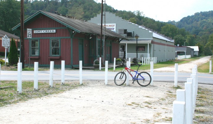
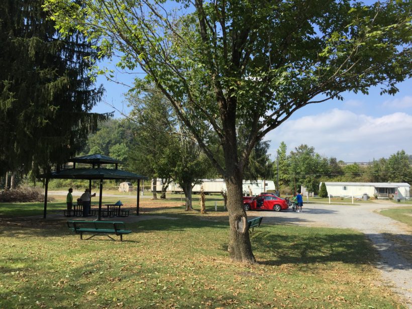
- The 5.6-mile southern segment from Lost Creek to Mount Clare is developed and has a crushed limestone surface, interspersed with grassy areas. There is a slight incline grade on the trail from each direction, with the highpoint in the middle, so you will be have an uphill and downhill trip either way! The trail passes farmland set against the backdrop of the rolling hills that make this part of West Virginia exceptionally beautiful. Several decked trestles along the way cross the snaking course of Browns Creek, which is never far out of sight. In Lost Creek, the trail ends just before a closed trestle over the creek of the same name (just beyond the Lost Creek Community Building), where a sign warns users that their route has ended. There is a very nice trailhead here with flush toilets, a picnic shelter and parking. The trail has a rougher surface more suited to mountain bikes than road bikes, but upgrades are underway, with more grant applications being written every year to fund the trail improvements.


Mount Clare to Clarksburg segment. Much of this 3-mile section is technically open but unimproved and only passable with hiking boots.
Someday it is hoped that Clarksburg will be a destination hub of rail-trails and trail users. Clarksburg will be the Trail Town where the Harrison South Rail-Trail, North Bend Rail-Trail and West Fork River Trail (via the Harrison North Rail-Trail) all meet, replicating the traffic brought by the railroads in the 19th and early 20th centuries.
Trail Manager Contact
Charlotte Shaffer
Harrison County Planning Director
301 W. Main St.
Clarksburg, WV 26301
(304)624-8692 direct
(304)672-0979 cell
cshaffer@harrisoncountywv.com
Notes
(Friends Of) Harrison Rail-Trails, Inc. Facebook- http://www.facebook.com/HarrisonRailTrails